Aerial photography · area maps
Large area images and area maps
Finland
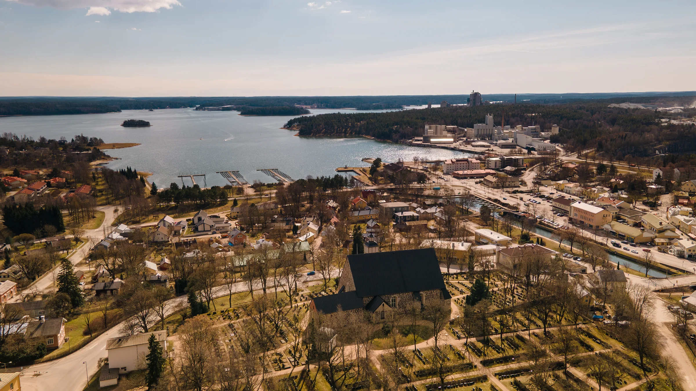
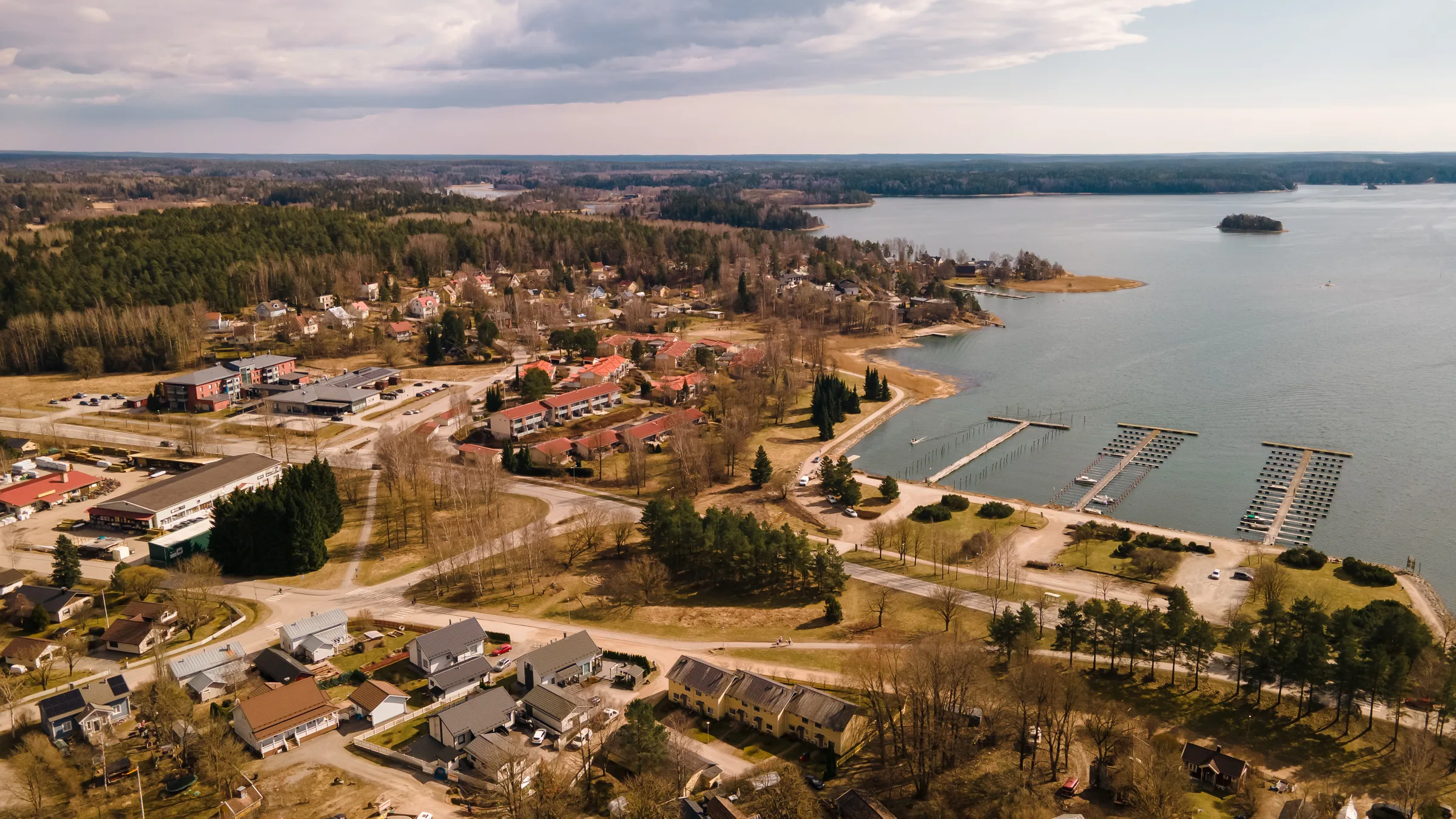
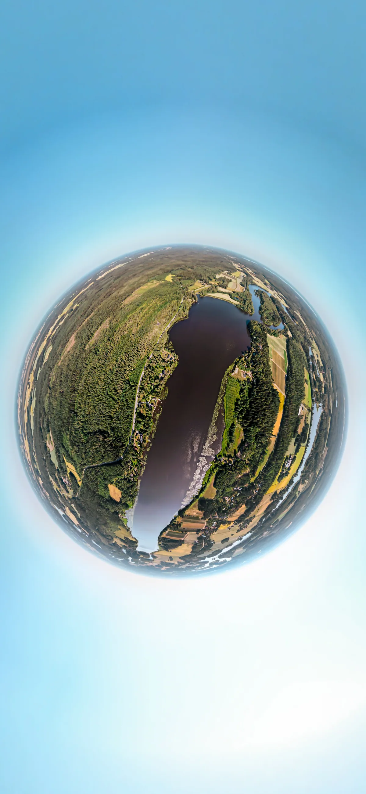
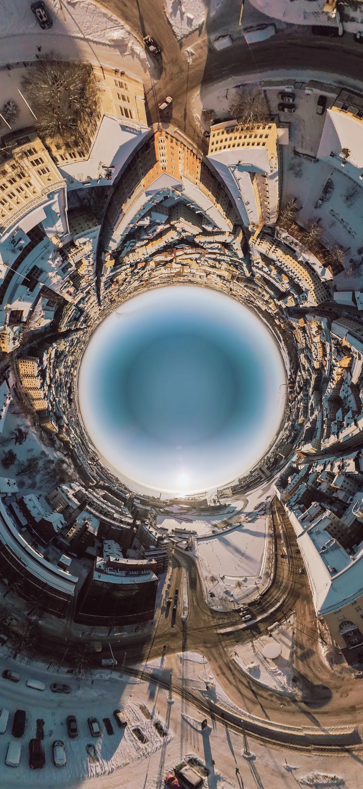
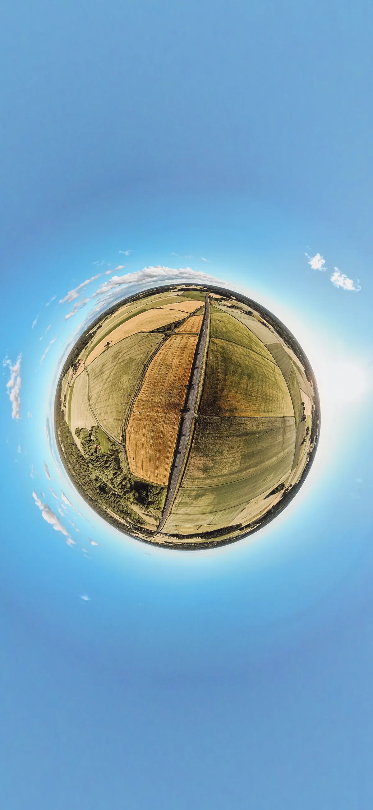
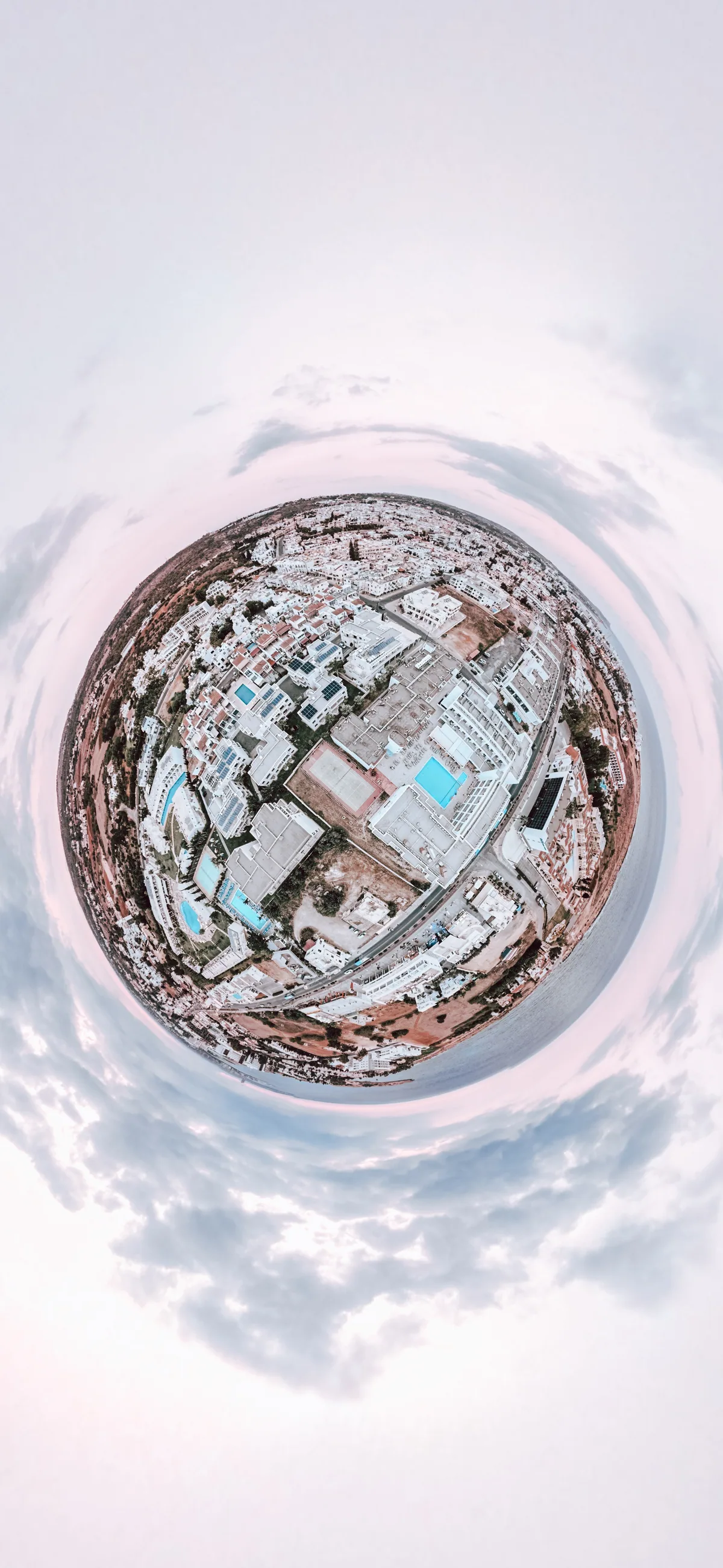
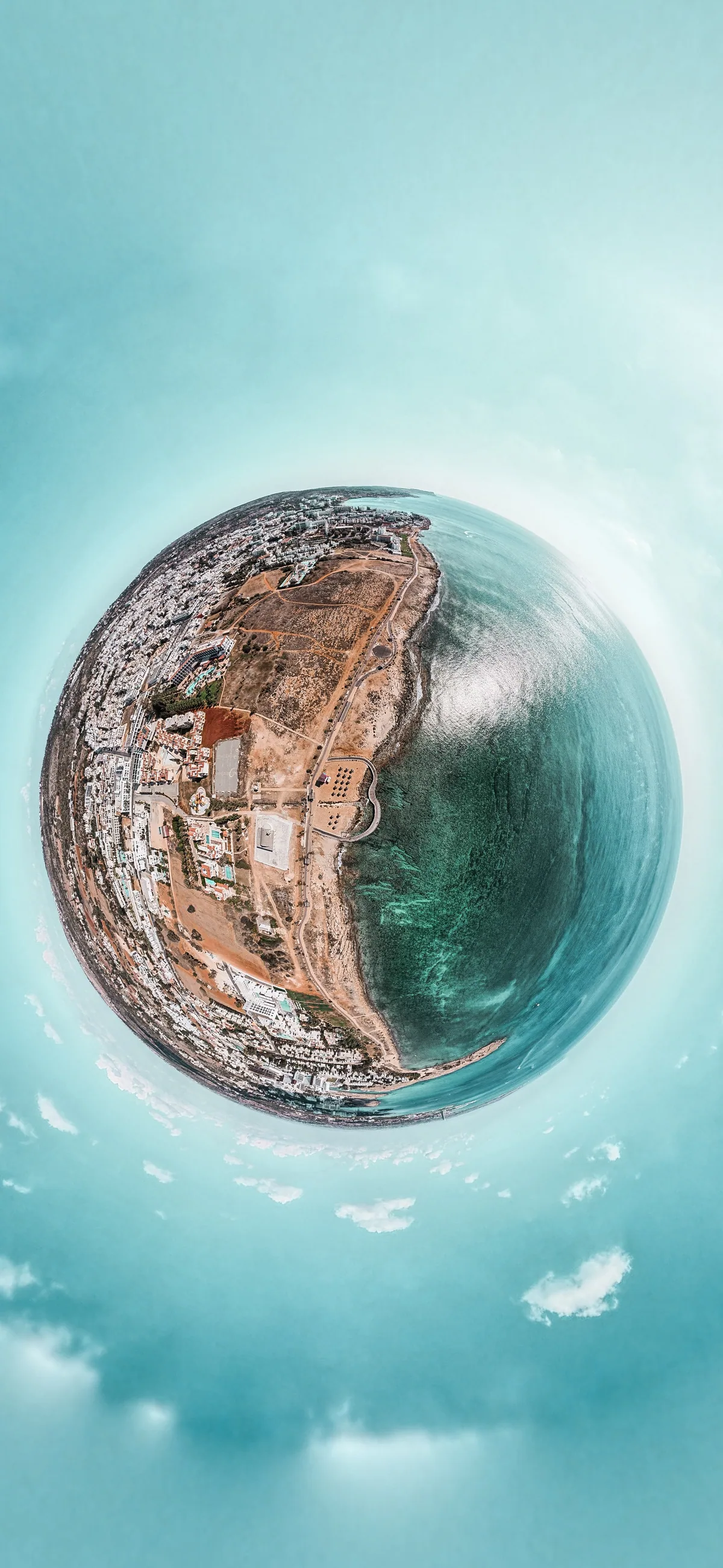
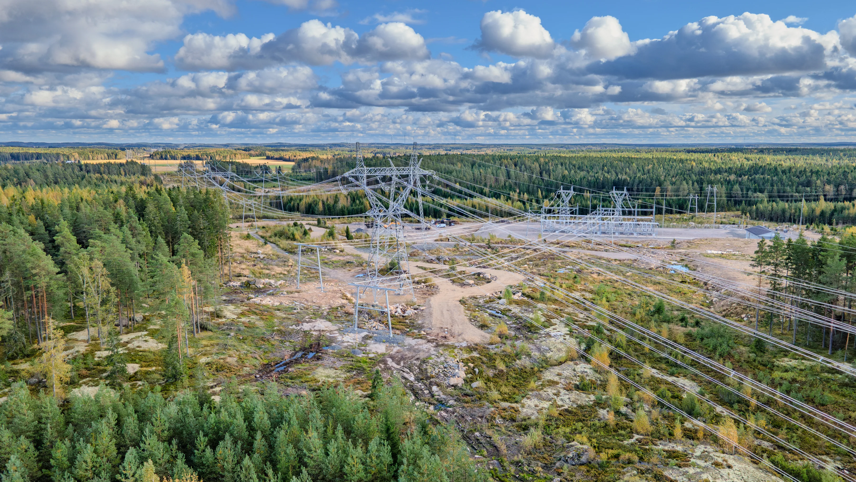
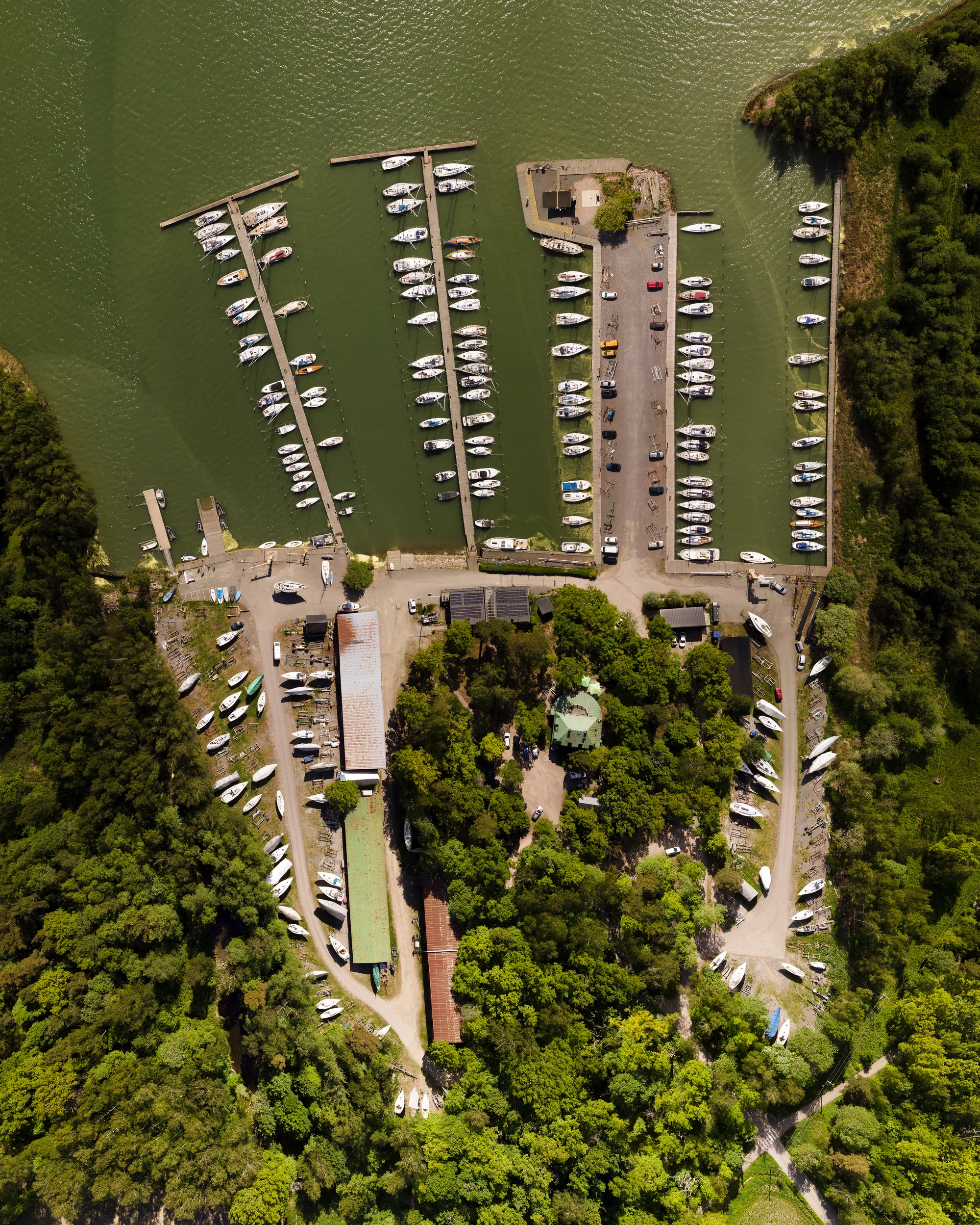
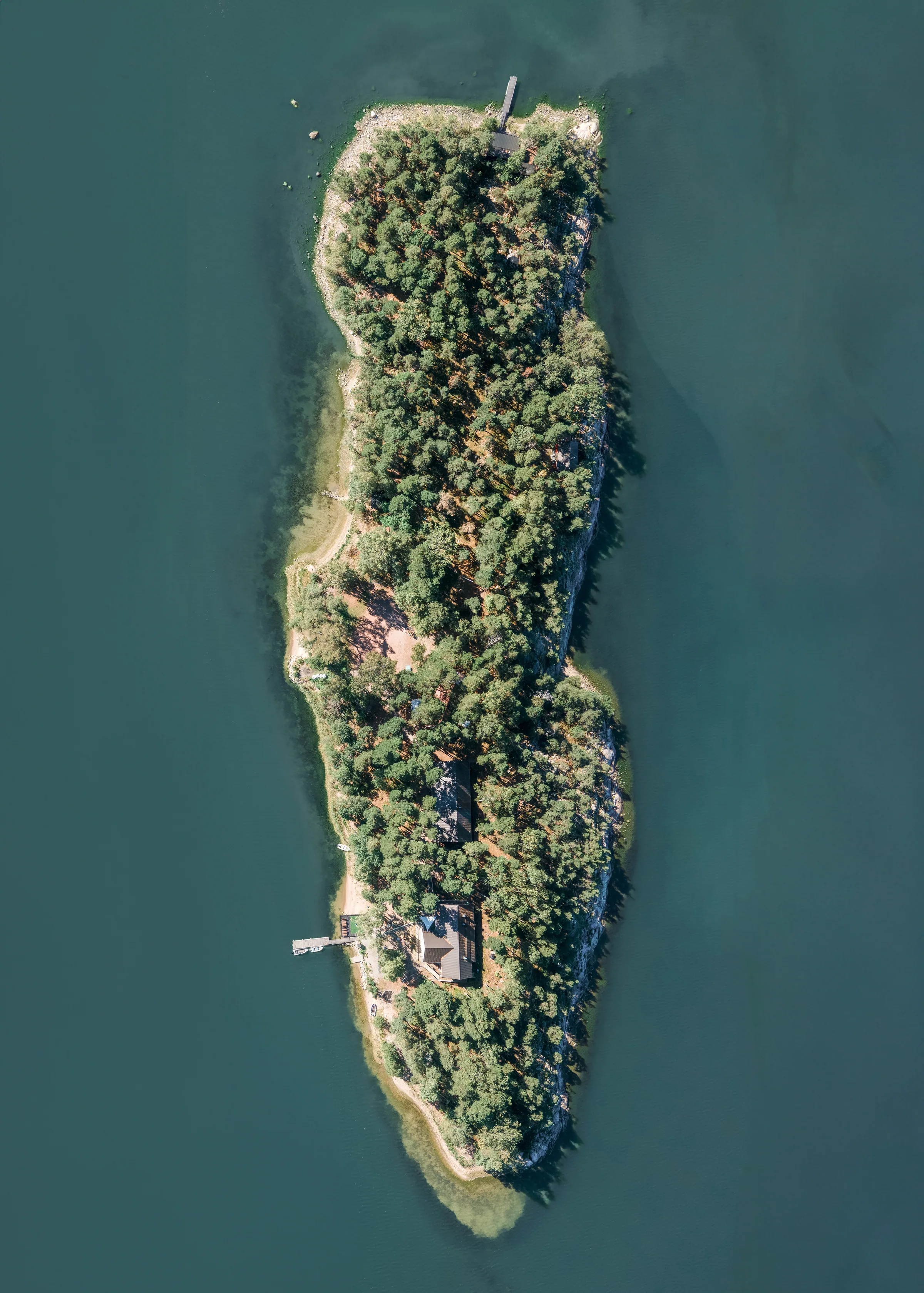
An area map is made up of more than 150 individual photographs, shot from precisely measured points and stitched into one image. This is necessary because aviation law prohibits flying a drone above 120 metres, and from too high up the details would be lost anyway. The result is a single sharp image of an entire area.
Area map150+ photosDroneMeasured