
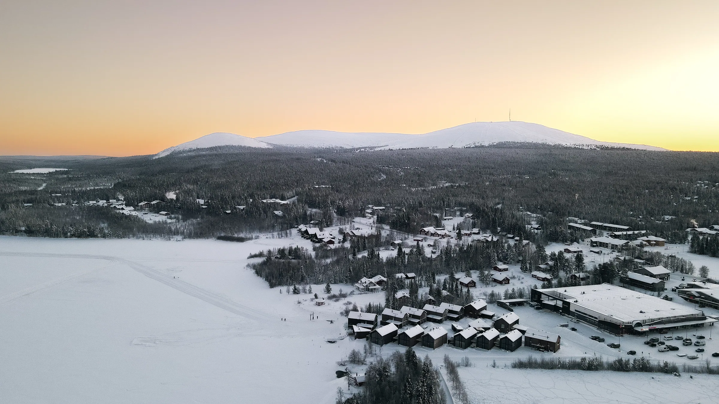
Services · Drone & aerial
Property aerial photography and drone
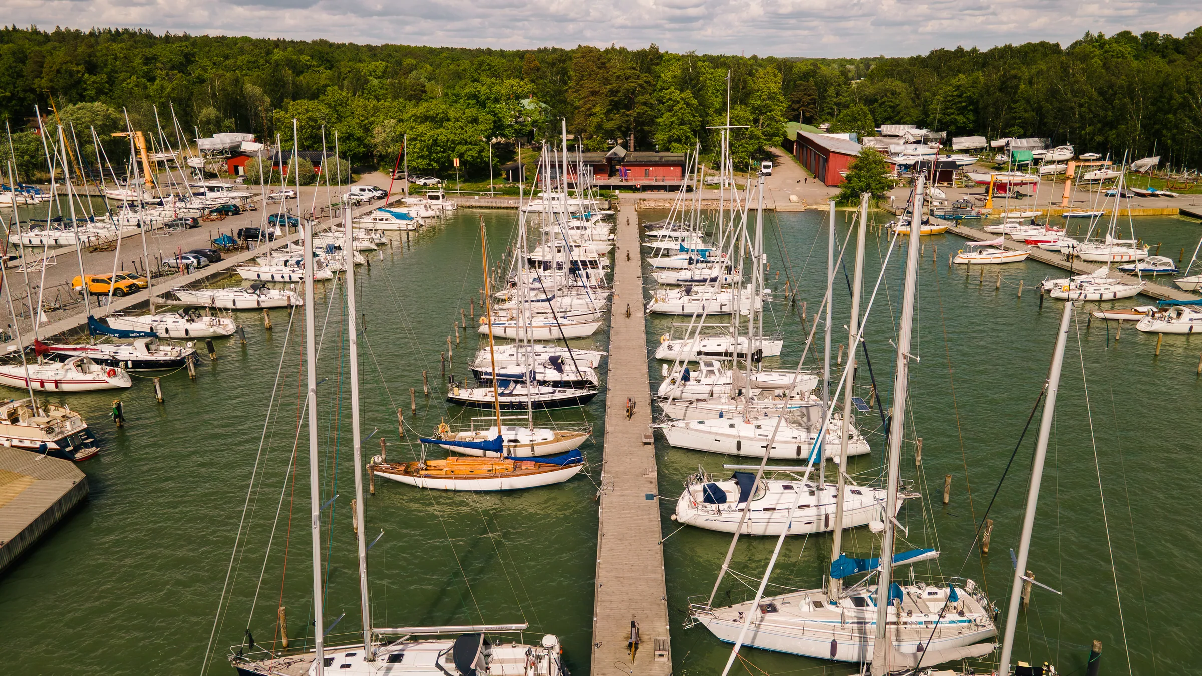
An aerial view shows a scale you can't see from the ground — a property, plot or whole area at a glance. Registered, insured commercial drone work from Southwest Finland, with the authority side handled.
Why drone isn't just flying
Authority notifications and flight clearances handled
On public areas and near buildings, flying a drone in 2026 requires notifications and clearances before take-off. In practice the paperwork often takes longer than the shoot itself — and it's exactly the part many skip. With me it's included: I fly registered, insured and EU-compliant, so you don't carry the risk or chase permits yourself.
Notifications & clearances
Regional flight and authority notifications handled before the shoot — included in the price.
Registered & insured
Commercial drone operation, registered and liability-insured.
EU-compliant
Flights under EU drone regulations, category and distances per site.
What you get
- Property and plot shoots from the air
- Area maps and orthomosaics (many images stitched into one sharp map)
- Aerial as part of a video or photo day
- Edited images optimized for web and brochures
- Authority notifications and flight clearances handled
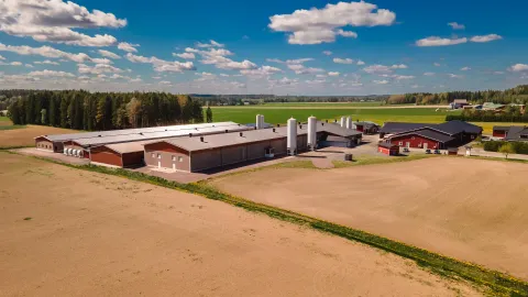
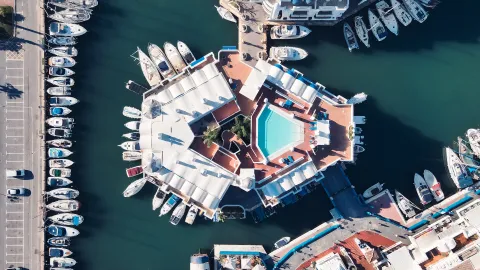
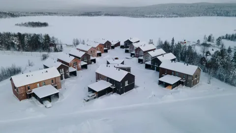
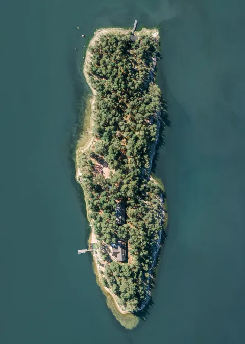
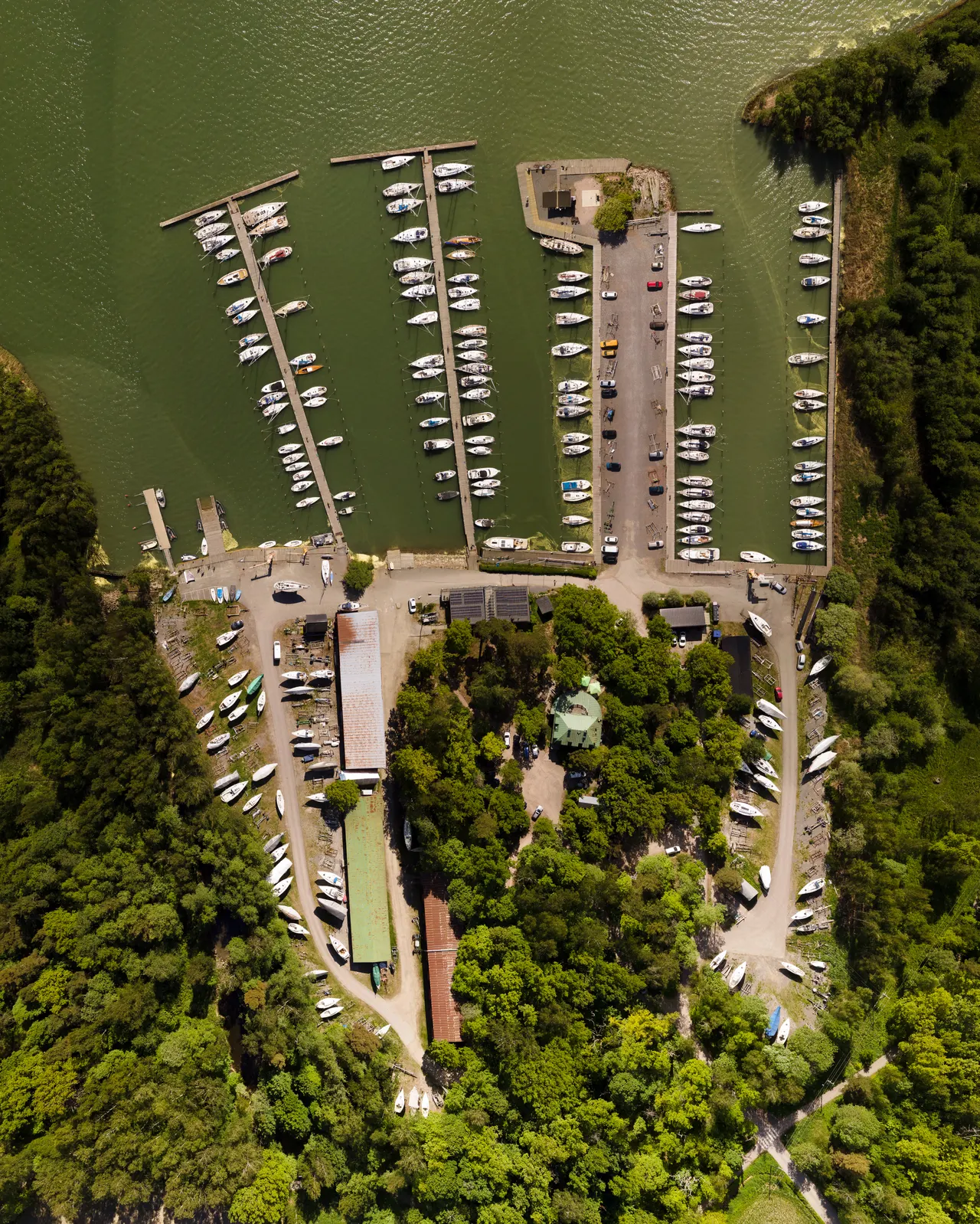
Area map & orthomosaic
Why many close images, not one from high up
An orthomosaic is a single sharp overview assembled from hundreds of close-range images — the result of a survey, not one tap of the shutter.
Why not just fly high enough and take one photo? Two reasons:
120-metre altitude limit
By law a drone may not be raised above 120 metres.
Detail is lost from afar
An image taken from far away loses detail — the air is full of particles that shimmer.
So several precisely measured close-range images, stitched together afterwards, are a clearly higher-quality option.
 154
154Pricing
The price is made up of travel, planning, the authority work, the shoot itself and the editing — not just flight time. The base price is for a local site, such as a basic property aerial shoot; larger jobs and travel further afield are by quote.
Property aerial
from €250/siteOne local site: a set of edited aerial images for sales, web or brochure. Includes authority notifications.
Area map & orthomosaic
from €450A large area or plot mapped: one sharp composite stitched from hundreds of images. Price depends on the scope of the project.
As part of packages
included at base levelDrone use is included in photography and video packages at a base level. Larger drone jobs within packages are agreed separately.
Expertise
Challenging flights and shoots abroad
Demanding flights
We've also shot at sea from a boat — power-line components, for example — and can carry out more challenging flights.
Shoots abroad
Shoots abroad are possible too. The destination country's own aviation law always applies, and it may restrict things like night flights or certain areas — or ban flights entirely. The rules are checked and handled in advance.
Gear travels along
The equipment travels abroad easily, and handling it at airports is familiar. Good planning and quickly executed work also reduce risks such as gear going missing.
Good to know
Weather, no-fly zones and frost
Weather decides
+
We don't fly in rain or snow. Strong wind is always assessed case by case — safety and controllability first.
No-fly zones
+
Finland has no-fly zones: most commonly the areas around airports, military zones, large companies, harbours and areas near prisons. Shooting in a restricted zone requires authority clearances — allow at least 6 months before the planned flight.
Frost limits flight
+
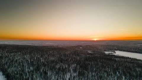
Cold weather limits a drone's controllability. At −32°C, for example, our drone effectively only flies straight up and down.
Request a quote for your site
Tell me the site and location and you'll get a price and schedule — authority matters included.